
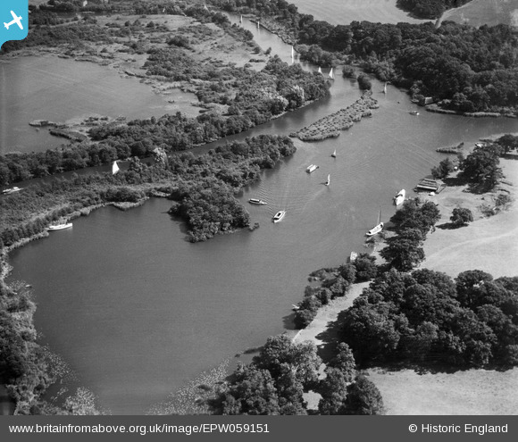
EPW059151 ENGLAND (1938). Salhouse Broad, Salhouse, 1938
© Copyright OpenStreetMap contributors and licensed by the OpenStreetMap Foundation. 2026. Cartography is licensed as CC BY-SA.
Nearby Images (2)
EPW059151

EPW059158

Details
| Title | [EPW059151] Salhouse Broad, Salhouse, 1938 |
| Reference | EPW059151 |
| Date | 3-September-1938 |
| Link | |
| Place name | SALHOUSE |
| Parish | SALHOUSE |
| District | |
| Country | ENGLAND |
| Easting / Northing | 631888, 315745 |
| Longitude / Latitude | 1.4316202655392, 52.68931338751 |
| National Grid Reference | TG319157 |
Pins
Be the first to add a comment to this image!