
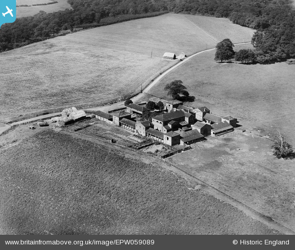
EPW059089 ENGLAND (1938). Hatch Farm, Thorndon Park, 1938
© Copyright OpenStreetMap contributors and licensed by the OpenStreetMap Foundation. 2026. Cartography is licensed as CC BY-SA.
Details
| Title | [EPW059089] Hatch Farm, Thorndon Park, 1938 |
| Reference | EPW059089 |
| Date | 2-September-1938 |
| Link | |
| Place name | THORNDON PARK |
| Parish | HERONGATE AND INGRAVE |
| District | |
| Country | ENGLAND |
| Easting / Northing | 561718, 190562 |
| Longitude / Latitude | 0.3347845660631, 51.590193692678 |
| National Grid Reference | TQ617906 |
Pins
Be the first to add a comment to this image!