
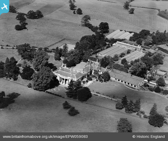
EPW059083 ENGLAND (1938). Warlies Park House, Warlies Park, 1938
© Copyright OpenStreetMap contributors and licensed by the OpenStreetMap Foundation. 2026. Cartography is licensed as CC BY-SA.
Nearby Images (2)
EPW059083

EPW059082

Details
| Title | [EPW059083] Warlies Park House, Warlies Park, 1938 |
| Reference | EPW059083 |
| Date | 2-September-1938 |
| Link | |
| Place name | WARLIES PARK |
| Parish | WALTHAM ABBEY |
| District | |
| Country | ENGLAND |
| Easting / Northing | 541427, 201340 |
| Longitude / Latitude | 0.046407837336131, 51.692510703603 |
| National Grid Reference | TL414013 |
Pins
Be the first to add a comment to this image!