
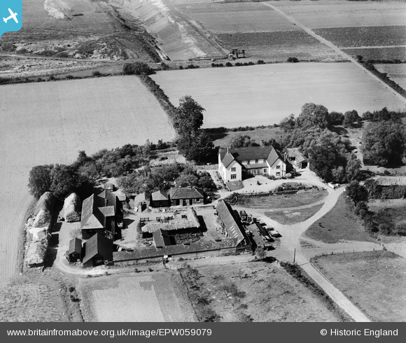
EPW059079 ENGLAND (1938). Bretts Farm, Belhus Park, 1938
© Copyright OpenStreetMap contributors and licensed by the OpenStreetMap Foundation. 2026. Cartography is licensed as CC BY-SA.
Details
| Title | [EPW059079] Bretts Farm, Belhus Park, 1938 |
| Reference | EPW059079 |
| Date | 2-September-1938 |
| Link | |
| Place name | BELHUS PARK |
| Parish | |
| District | |
| Country | ENGLAND |
| Easting / Northing | 555970, 181945 |
| Longitude / Latitude | 0.24804696050075, 51.514386490193 |
| National Grid Reference | TQ560819 |
Pins
Be the first to add a comment to this image!