
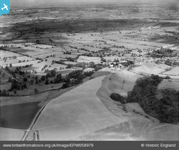
EPW058979 ENGLAND (1938). Markham Hill, Wroughton, from the south, 1938
© Copyright OpenStreetMap contributors and licensed by the OpenStreetMap Foundation. 2025. Cartography is licensed as CC BY-SA.
Details
| Title | [EPW058979] Markham Hill, Wroughton, from the south, 1938 |
| Reference | EPW058979 |
| Date | 30-August-1938 |
| Link | |
| Place name | WROUGHTON |
| Parish | WROUGHTON |
| District | |
| Country | ENGLAND |
| Easting / Northing | 413395, 179633 |
| Longitude / Latitude | -1.8069419940505, 51.514979899802 |
| National Grid Reference | SU134796 |
Pins

NottmJas |
Saturday 16th of September 2023 09:07:56 PM | |
|
NottmJas |
Saturday 16th of September 2023 09:06:43 PM | |
|
NottmJas |
Saturday 7th of May 2022 09:07:51 AM | |
|
NottmJas |
Saturday 7th of May 2022 09:07:01 AM | |

Class31 |
Monday 24th of June 2013 08:53:42 PM | |
|
Class31 |
Monday 24th of June 2013 08:52:33 PM | |
|
Class31 |
Monday 24th of June 2013 08:49:44 PM | |
|
Class31 |
Monday 24th of June 2013 08:48:28 PM | |
|
Class31 |
Monday 24th of June 2013 08:47:42 PM |