
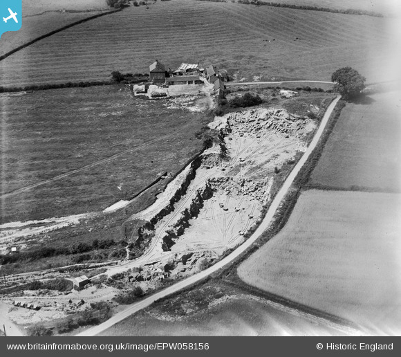
EPW058156 ENGLAND (1938). Barrow Hill Quarry and Rock Farm, Earl Shilton, 1938
© Copyright OpenStreetMap contributors and licensed by the OpenStreetMap Foundation. 2026. Cartography is licensed as CC BY-SA.
Nearby Images (6)
EPW058156

EPW058153

EPW058151

EPW058152

EPW058154

EPW058155

Details
| Title | [EPW058156] Barrow Hill Quarry and Rock Farm, Earl Shilton, 1938 |
| Reference | EPW058156 |
| Date | 20-July-1938 |
| Link | |
| Place name | EARL SHILTON |
| Parish | EARL SHILTON |
| District | |
| Country | ENGLAND |
| Easting / Northing | 448805, 297146 |
| Longitude / Latitude | -1.2798314274922, 52.569587485244 |
| National Grid Reference | SP488971 |
Pins
Be the first to add a comment to this image!