
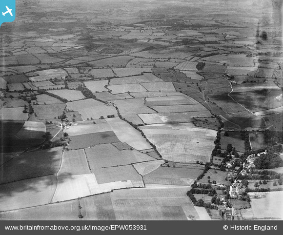
EPW053931 ENGLAND (1937). Whatbarns Farm and surrounding countryside, Westmill, 1937. This image has been produced from a damaged negative.
© Copyright OpenStreetMap contributors and licensed by the OpenStreetMap Foundation. 2025. Cartography is licensed as CC BY-SA.
Nearby Images (3)
EPW053931

EPW053929

EPW053928

Details
| Title | [EPW053931] Whatbarns Farm and surrounding countryside, Westmill, 1937. This image has been produced from a damaged negative. |
| Reference | EPW053931 |
| Date | June-1937 |
| Link | |
| Place name | WESTMILL |
| Parish | WESTMILL |
| District | |
| Country | ENGLAND |
| Easting / Northing | 534854, 227592 |
| Longitude / Latitude | -0.038421163746715, 51.930049441417 |
| National Grid Reference | TL349276 |
Pins
Be the first to add a comment to this image!