
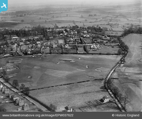
EPW037622 ENGLAND (1932). Oldnall Road, Hill Grove Crescent and part of the golf course, Kidderminster, from the south-west, 1932
© Copyright OpenStreetMap contributors and licensed by the OpenStreetMap Foundation. 2025. Cartography is licensed as CC BY-SA.
Nearby Images (2)
EPW037622

EPW037618

Details
| Title | [EPW037622] Oldnall Road, Hill Grove Crescent and part of the golf course, Kidderminster, from the south-west, 1932 |
| Reference | EPW037622 |
| Date | April-1932 |
| Link | |
| Place name | KIDDERMINSTER |
| Parish | |
| District | |
| Country | ENGLAND |
| Easting / Northing | 383920, 275620 |
| Longitude / Latitude | -2.2362474704515, 52.378000723807 |
| National Grid Reference | SO839756 |
Pins
 julian stevens |
Wednesday 8th of March 2017 07:14:35 AM | |
julian stevens |
Wednesday 23rd of July 2014 02:04:05 PM | |
julian stevens |
Wednesday 23rd of July 2014 01:50:17 PM | |
julian stevens |
Wednesday 23rd of July 2014 01:49:11 PM | |
julian stevens |
Wednesday 23rd of July 2014 01:47:54 PM | |
julian stevens |
Wednesday 23rd of July 2014 01:27:33 PM | |
spelt offmoor in those days and uffmoor before |
julian stevens |
Wednesday 23rd of July 2014 02:03:08 PM |
alanpreece |
Sunday 23rd of February 2014 05:21:32 PM | |
alanpreece |
Sunday 23rd of February 2014 05:20:40 PM |