
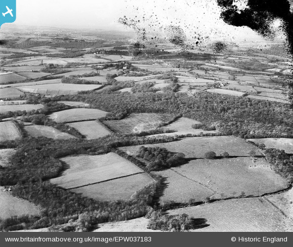
EPW037183 ENGLAND (1931). Coombe Wood, Six Acre Wood and environs, Mayfield, from the south-east, 1931
© Copyright OpenStreetMap contributors and licensed by the OpenStreetMap Foundation. 2025. Cartography is licensed as CC BY-SA.
Nearby Images (2)
EPW037183

EPW037174

Details
| Title | [EPW037183] Coombe Wood, Six Acre Wood and environs, Mayfield, from the south-east, 1931 |
| Reference | EPW037183 |
| Date | November-1931 |
| Link | |
| Place name | MAYFIELD |
| Parish | MAYFIELD AND FIVE ASHES |
| District | |
| Country | ENGLAND |
| Easting / Northing | 562071, 127486 |
| Longitude / Latitude | 0.31121496415372, 51.023329742563 |
| National Grid Reference | TQ621275 |
Pins
 Class31 |
Wednesday 16th of January 2013 09:52:23 AM | |
Class31 |
Wednesday 16th of January 2013 09:18:43 AM | |
Class31 |
Wednesday 16th of January 2013 09:11:14 AM | |
Class31 |
Wednesday 16th of January 2013 09:08:18 AM | |
Class31 |
Wednesday 16th of January 2013 09:07:10 AM | |
Class31 |
Wednesday 16th of January 2013 09:06:25 AM | |
Class31 |
Monday 10th of December 2012 04:19:20 PM |