
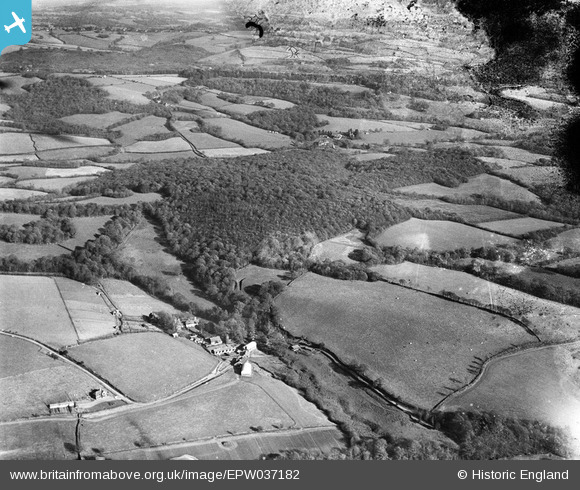
EPW037182 ENGLAND (1931). Coombe Wood and environs, Mayfield, 1931
© Copyright OpenStreetMap contributors and licensed by the OpenStreetMap Foundation. 2025. Cartography is licensed as CC BY-SA.
Nearby Images (4)
EPW037182

EPW037175

EPW037181

EPW037173

Details
| Title | [EPW037182] Coombe Wood and environs, Mayfield, 1931 |
| Reference | EPW037182 |
| Date | November-1931 |
| Link | |
| Place name | MAYFIELD |
| Parish | MAYFIELD AND FIVE ASHES |
| District | |
| Country | ENGLAND |
| Easting / Northing | 561273, 127817 |
| Longitude / Latitude | 0.29999217296113, 51.026528542183 |
| National Grid Reference | TQ613278 |
Pins
Be the first to add a comment to this image!