
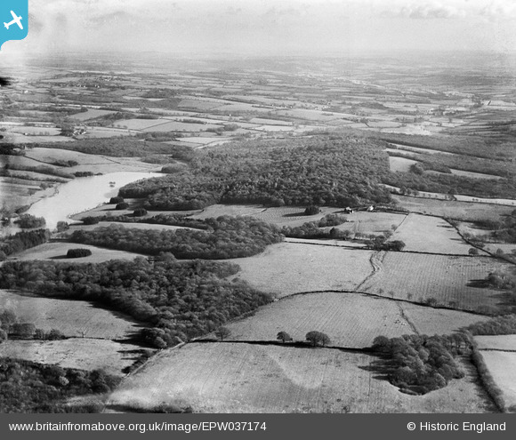
EPW037174 ENGLAND (1931). Batt's Wood, Long Wood and Well Field Wood, Mayfield, from the west, 1931
© Copyright OpenStreetMap contributors and licensed by the OpenStreetMap Foundation. 2025. Cartography is licensed as CC BY-SA.
Nearby Images (2)
EPW037174

EPW037183

Details
| Title | [EPW037174] Batt's Wood, Long Wood and Well Field Wood, Mayfield, from the west, 1931 |
| Reference | EPW037174 |
| Date | November-1931 |
| Link | |
| Place name | MAYFIELD |
| Parish | MAYFIELD AND FIVE ASHES |
| District | |
| Country | ENGLAND |
| Easting / Northing | 562285, 127663 |
| Longitude / Latitude | 0.31434328645238, 51.024859870576 |
| National Grid Reference | TQ623277 |
Pins
Be the first to add a comment to this image!