
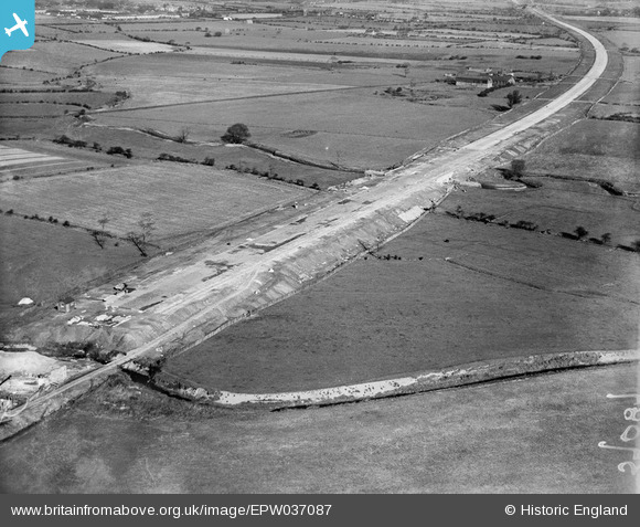
EPW037087 ENGLAND (1931). The East Lancashire Road (A580) under construction and Pennington Brook, Leigh, 1931
© Copyright OpenStreetMap contributors and licensed by the OpenStreetMap Foundation. 2025. Cartography is licensed as CC BY-SA.
Details
| Title | [EPW037087] The East Lancashire Road (A580) under construction and Pennington Brook, Leigh, 1931 |
| Reference | EPW037087 |
| Date | October-1931 |
| Link | |
| Place name | LEIGH |
| Parish | |
| District | |
| Country | ENGLAND |
| Easting / Northing | 367304, 398412 |
| Longitude / Latitude | -2.492741521879, 53.481160963496 |
| National Grid Reference | SJ673984 |
Pins
Be the first to add a comment to this image!