
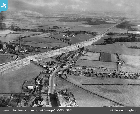
EPW037074 ENGLAND (1931). The East Lancashire Road (A580) under construction, Haydock, from the west, 1931
© Copyright OpenStreetMap contributors and licensed by the OpenStreetMap Foundation. 2025. Cartography is licensed as CC BY-SA.
Nearby Images (3)
EPW037074
 under construction, Haydock, from the west, 1931")
EPW037075
 under construction, Haydock, from the west, 1931")
EPW037082
 under construction, Haydock, from the west, 1931")
Details
| Title | [EPW037074] The East Lancashire Road (A580) under construction, Haydock, from the west, 1931 |
| Reference | EPW037074 |
| Date | October-1931 |
| Link | |
| Place name | HAYDOCK |
| Parish | |
| District | |
| Country | ENGLAND |
| Easting / Northing | 357063, 397323 |
| Longitude / Latitude | -2.6469189826267, 53.470636120253 |
| National Grid Reference | SJ571973 |
