
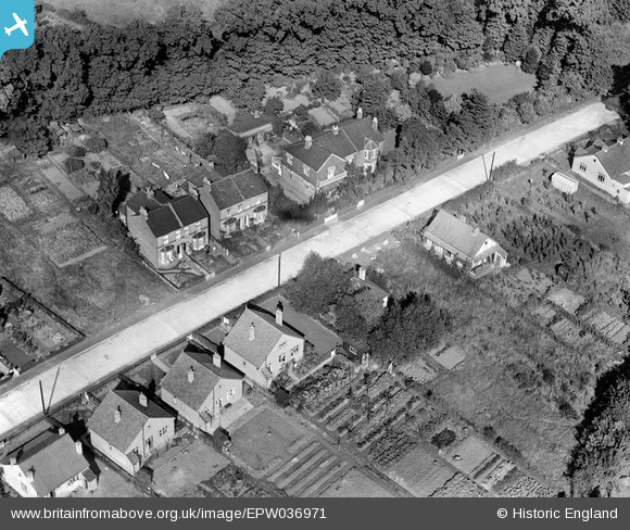
EPW036971 ENGLAND (1931). Thundersley Park Road, South Benfleet, 1931
© Copyright OpenStreetMap contributors and licensed by the OpenStreetMap Foundation. 2025. Cartography is licensed as CC BY-SA.
Nearby Images (2)
EPW036971

EPW036972

Details
| Title | [EPW036971] Thundersley Park Road, South Benfleet, 1931 |
| Reference | EPW036971 |
| Date | October-1931 |
| Link | |
| Place name | SOUTH BENFLEET |
| Parish | |
| District | |
| Country | ENGLAND |
| Easting / Northing | 577775, 187064 |
| Longitude / Latitude | 0.56459665497006, 51.553932284981 |
| National Grid Reference | TQ778871 |
Pins
Be the first to add a comment to this image!