
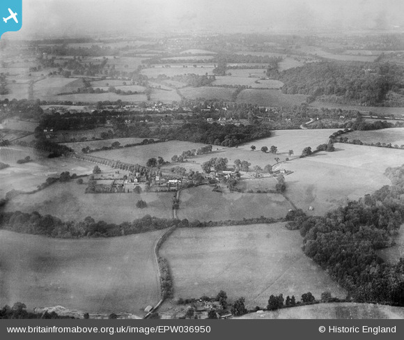
EPW036950 ENGLAND (1931). Eyhurst and surrounding countryside, Kingswood, from the south-east, 1931
© Copyright OpenStreetMap contributors and licensed by the OpenStreetMap Foundation. 2025. Cartography is licensed as CC BY-SA.
Details
| Title | [EPW036950] Eyhurst and surrounding countryside, Kingswood, from the south-east, 1931 |
| Reference | EPW036950 |
| Date | October-1931 |
| Link | |
| Place name | KINGSWOOD |
| Parish | |
| District | |
| Country | ENGLAND |
| Easting / Northing | 526427, 155761 |
| Longitude / Latitude | -0.18684087779184, 51.286427250278 |
| National Grid Reference | TQ264558 |
Pins
Be the first to add a comment to this image!