
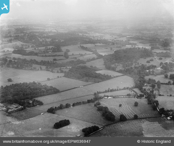
EPW036947 ENGLAND (1931). Colts Bushes and surrounding countryside, Lower Kingswood, from the south-west, 1931
© Copyright OpenStreetMap contributors and licensed by the OpenStreetMap Foundation. 2025. Cartography is licensed as CC BY-SA.
Details
| Title | [EPW036947] Colts Bushes and surrounding countryside, Lower Kingswood, from the south-west, 1931 |
| Reference | EPW036947 |
| Date | October-1931 |
| Link | |
| Place name | LOWER KINGSWOOD |
| Parish | |
| District | |
| Country | ENGLAND |
| Easting / Northing | 526241, 153808 |
| Longitude / Latitude | -0.19019708577316, 51.268914254733 |
| National Grid Reference | TQ262538 |
Pins
Be the first to add a comment to this image!