
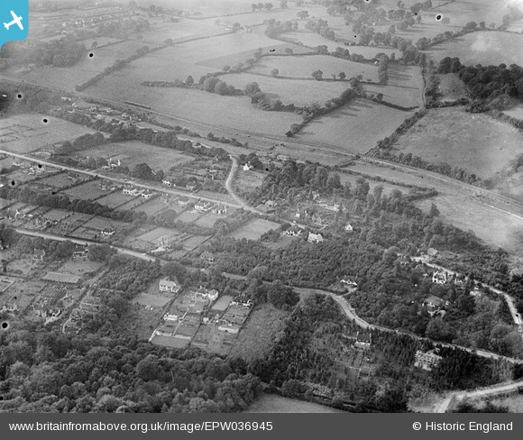
EPW036945 ENGLAND (1931). Chipstead Bottom, The Glade and environs, Kingswood, 1931
© Copyright OpenStreetMap contributors and licensed by the OpenStreetMap Foundation. 2025. Cartography is licensed as CC BY-SA.
Details
| Title | [EPW036945] Chipstead Bottom, The Glade and environs, Kingswood, 1931 |
| Reference | EPW036945 |
| Date | October-1931 |
| Link | |
| Place name | KINGSWOOD |
| Parish | |
| District | |
| Country | ENGLAND |
| Easting / Northing | 525909, 156850 |
| Longitude / Latitude | -0.19388173390708, 51.296330340856 |
| National Grid Reference | TQ259569 |
Pins

Rob |
Monday 20th of October 2014 10:00:32 PM |