
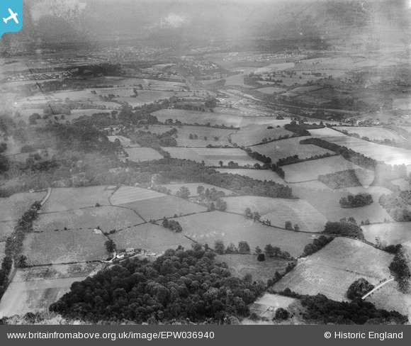
EPW036940 ENGLAND (1931). Ten Acre Wood and surrounding countryside, Chipstead, from the south-west, 1931
© Copyright OpenStreetMap contributors and licensed by the OpenStreetMap Foundation. 2025. Cartography is licensed as CC BY-SA.
Details
| Title | [EPW036940] Ten Acre Wood and surrounding countryside, Chipstead, from the south-west, 1931 |
| Reference | EPW036940 |
| Date | October-1931 |
| Link | |
| Place name | CHIPSTEAD |
| Parish | |
| District | |
| Country | ENGLAND |
| Easting / Northing | 527500, 154669 |
| Longitude / Latitude | -0.17185056501865, 51.276372834253 |
| National Grid Reference | TQ275547 |
Pins
Be the first to add a comment to this image!