
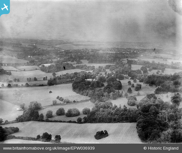
EPW036939 ENGLAND (1931). Shabden and surrounding countryside, Chipstead, from the south-west, 1931
© Copyright OpenStreetMap contributors and licensed by the OpenStreetMap Foundation. 2025. Cartography is licensed as CC BY-SA.
Details
| Title | [EPW036939] Shabden and surrounding countryside, Chipstead, from the south-west, 1931 |
| Reference | EPW036939 |
| Date | October-1931 |
| Link | |
| Place name | CHIPSTEAD |
| Parish | |
| District | |
| Country | ENGLAND |
| Easting / Northing | 527191, 155649 |
| Longitude / Latitude | -0.17592976742577, 51.285250429397 |
| National Grid Reference | TQ272556 |
Pins
Be the first to add a comment to this image!