
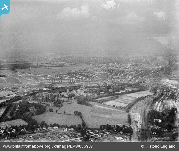
EPW036937 ENGLAND (1931). Cane Hill Hospital and the outskirts of town, Coulsdon, from the south, 1931
© Copyright OpenStreetMap contributors and licensed by the OpenStreetMap Foundation. 2025. Cartography is licensed as CC BY-SA.
Details
| Title | [EPW036937] Cane Hill Hospital and the outskirts of town, Coulsdon, from the south, 1931 |
| Reference | EPW036937 |
| Date | October-1931 |
| Link | |
| Place name | COULSDON |
| Parish | |
| District | |
| Country | ENGLAND |
| Easting / Northing | 529208, 158527 |
| Longitude / Latitude | -0.14597763492487, 51.310664139162 |
| National Grid Reference | TQ292585 |
Pins
 Mike |
Tuesday 25th of July 2023 11:23:19 PM | |
Geoff Smith |
Sunday 12th of February 2023 07:42:57 AM | |
Geoff Smith |
Sunday 12th of February 2023 07:39:08 AM | |
ian |
Tuesday 14th of April 2015 08:08:17 PM | |
John Wass |
Sunday 12th of April 2015 08:07:23 PM | |
Dan Gregory |
Tuesday 3rd of June 2014 04:43:08 PM | |
gas69 |
Wednesday 19th of December 2012 09:41:10 PM | |
gas69 |
Wednesday 19th of December 2012 09:37:23 PM | |
gas69 |
Wednesday 19th of December 2012 09:36:03 PM | |
gas69 |
Wednesday 19th of December 2012 09:34:31 PM |