
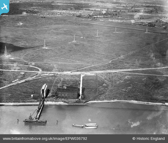
EPW036792 ENGLAND (1931). Ripple Level and an unidentified industrial building on the bank of the River Thames, Barking, 1931
© Copyright OpenStreetMap contributors and licensed by the OpenStreetMap Foundation. 2025. Cartography is licensed as CC BY-SA.
Details
| Title | [EPW036792] Ripple Level and an unidentified industrial building on the bank of the River Thames, Barking, 1931 |
| Reference | EPW036792 |
| Date | September-1931 |
| Link | |
| Place name | BARKING |
| Parish | |
| District | |
| Country | ENGLAND |
| Easting / Northing | 546969, 182113 |
| Longitude / Latitude | 0.1184809621247, 51.518309879574 |
| National Grid Reference | TQ470821 |
Pins
Be the first to add a comment to this image!