
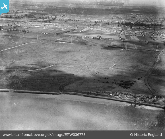
EPW036778 ENGLAND (1931). Ripple Level, Dagenham, 1931
© Copyright OpenStreetMap contributors and licensed by the OpenStreetMap Foundation. 2025. Cartography is licensed as CC BY-SA.
Details
| Title | [EPW036778] Ripple Level, Dagenham, 1931 |
| Reference | EPW036778 |
| Date | September-1931 |
| Link | |
| Place name | DAGENHAM |
| Parish | |
| District | |
| Country | ENGLAND |
| Easting / Northing | 547538, 182471 |
| Longitude / Latitude | 0.12682664249383, 51.521378616258 |
| National Grid Reference | TQ475825 |
Pins
Be the first to add a comment to this image!