
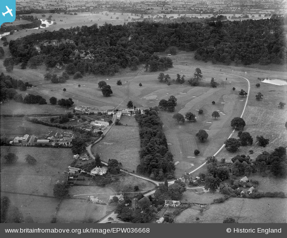
EPW036668 ENGLAND (1931). Hawkstone Park Golf Course, Weston, from the south-west, 1931
© Copyright OpenStreetMap contributors and licensed by the OpenStreetMap Foundation. 2025. Cartography is licensed as CC BY-SA.
Nearby Images (6)
EPW036668

EPW036676

EPW036675

EPW036673

EPW036671

EPW036674

Details
| Title | [EPW036668] Hawkstone Park Golf Course, Weston, from the south-west, 1931 |
| Reference | EPW036668 |
| Date | September-1931 |
| Link | |
| Place name | WESTON |
| Parish | WESTON-UNDER-REDCASTLE |
| District | |
| Country | ENGLAND |
| Easting / Northing | 356602, 328868 |
| Longitude / Latitude | -2.6445780308261, 52.855229391841 |
| National Grid Reference | SJ566289 |
Pins
Be the first to add a comment to this image!