
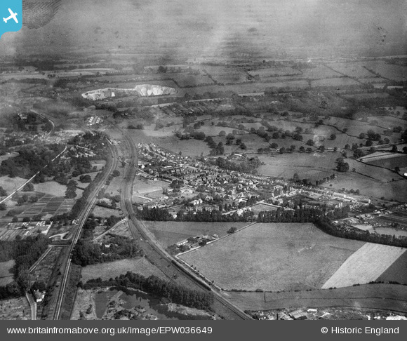
EPW036649 ENGLAND (1931). South Merstham, Merstham, from the south-west, 1931
© Copyright OpenStreetMap contributors and licensed by the OpenStreetMap Foundation. 2025. Cartography is licensed as CC BY-SA.
Details
| Title | [EPW036649] South Merstham, Merstham, from the south-west, 1931 |
| Reference | EPW036649 |
| Date | September-1931 |
| Link | |
| Place name | MERSTHAM |
| Parish | |
| District | |
| Country | ENGLAND |
| Easting / Northing | 529017, 152240 |
| Longitude / Latitude | -0.15098780995694, 51.254198991779 |
| National Grid Reference | TQ290522 |
Pins

MB |
Wednesday 26th of December 2012 11:31:44 PM |