
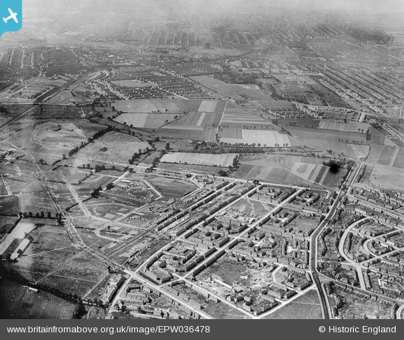
EPW036478 ENGLAND (1931). Housing estate under construction to the east of Mayesbrook Park, Barking, from the north-east, 1931
© Copyright OpenStreetMap contributors and licensed by the OpenStreetMap Foundation. 2025. Cartography is licensed as CC BY-SA.
Nearby Images (3)
EPW036478

EAW048075

EPW036487

Details
| Title | [EPW036478] Housing estate under construction to the east of Mayesbrook Park, Barking, from the north-east, 1931 |
| Reference | EPW036478 |
| Date | August-1931 |
| Link | |
| Place name | BARKING |
| Parish | |
| District | |
| Country | ENGLAND |
| Easting / Northing | 547140, 185372 |
| Longitude / Latitude | 0.12230606064563, 51.547551662243 |
| National Grid Reference | TQ471854 |
Pins

pl8man |
Thursday 9th of July 2020 03:32:05 PM | |
|
steve _b |
Monday 2nd of May 2016 07:59:44 AM | |
|
steve _b |
Monday 2nd of May 2016 07:53:35 AM | |
|
steve _b |
Monday 2nd of May 2016 07:47:34 AM | |
|
steve _b |
Monday 2nd of May 2016 07:39:56 AM | |
|
Curtis |
Friday 15th of April 2016 04:27:55 PM | |
|
mardell8 |
Monday 28th of October 2013 05:49:48 PM | |
|
windblown |
Saturday 16th of February 2013 09:11:04 AM | |
|
windblown |
Saturday 16th of February 2013 09:10:20 AM | |
|
windblown |
Saturday 16th of February 2013 09:07:36 AM | |
|
windblown |
Saturday 16th of February 2013 09:07:14 AM | |
|
windblown |
Saturday 16th of February 2013 09:05:47 AM |