
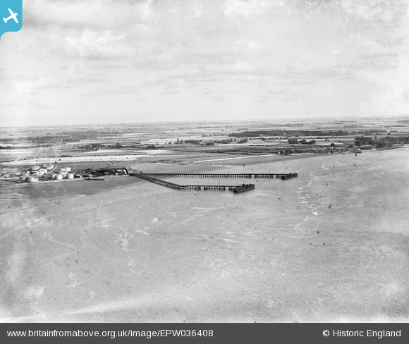
EPW036408 ENGLAND (1931). The Salt End Jetties, South Pasture and environs, Salt End, from the west, 1931
© Copyright OpenStreetMap contributors and licensed by the OpenStreetMap Foundation. 2025. Cartography is licensed as CC BY-SA.
Details
| Title | [EPW036408] The Salt End Jetties, South Pasture and environs, Salt End, from the west, 1931 |
| Reference | EPW036408 |
| Date | August-1931 |
| Link | |
| Place name | SALT END |
| Parish | |
| District | |
| Country | ENGLAND |
| Easting / Northing | 515365, 427314 |
| Longitude / Latitude | -0.2511117313725, 53.729223286056 |
| National Grid Reference | TA154273 |
Pins
Be the first to add a comment to this image!