
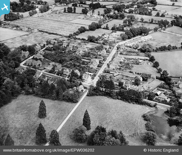
EPW036202 ENGLAND (1931). The junction of the Basingstoke Road and Hyde End Road, Spencers Wood, 1931
© Copyright OpenStreetMap contributors and licensed by the OpenStreetMap Foundation. 2025. Cartography is licensed as CC BY-SA.
Details
| Title | [EPW036202] The junction of the Basingstoke Road and Hyde End Road, Spencers Wood, 1931 |
| Reference | EPW036202 |
| Date | August-1931 |
| Link | |
| Place name | SPENCERS WOOD |
| Parish | SHINFIELD |
| District | |
| Country | ENGLAND |
| Easting / Northing | 471535, 166660 |
| Longitude / Latitude | -0.97169878882543, 51.393966820003 |
| National Grid Reference | SU715667 |
