
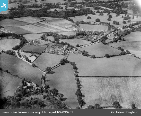
EPW036201 ENGLAND (1931). Basingstoke Road and environs, Spencers Wood, 1931
© Copyright OpenStreetMap contributors and licensed by the OpenStreetMap Foundation. 2025. Cartography is licensed as CC BY-SA.
Nearby Images (2)
EPW036201

EPW036205

Details
| Title | [EPW036201] Basingstoke Road and environs, Spencers Wood, 1931 |
| Reference | EPW036201 |
| Date | August-1931 |
| Link | |
| Place name | SPENCERS WOOD |
| Parish | SHINFIELD |
| District | |
| Country | ENGLAND |
| Easting / Northing | 471489, 166025 |
| Longitude / Latitude | -0.97248782337614, 51.388263190446 |
| National Grid Reference | SU715660 |
Pins
Be the first to add a comment to this image!