
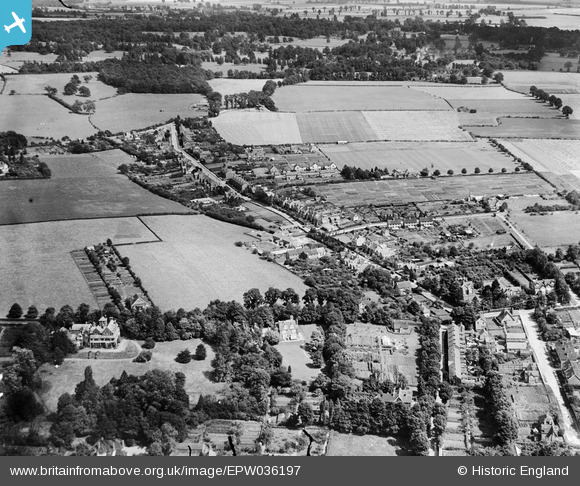
EPW036197 ENGLAND (1931). Upper Wargrave, Wargrave, from the west, 1931
© Copyright OpenStreetMap contributors and licensed by the OpenStreetMap Foundation. 2025. Cartography is licensed as CC BY-SA.
Details
| Title | [EPW036197] Upper Wargrave, Wargrave, from the west, 1931 |
| Reference | EPW036197 |
| Date | August-1931 |
| Link | |
| Place name | WARGRAVE |
| Parish | WARGRAVE |
| District | |
| Country | ENGLAND |
| Easting / Northing | 478817, 178767 |
| Longitude / Latitude | -0.86434507144536, 51.50185363227 |
| National Grid Reference | SU788788 |
Pins
Be the first to add a comment to this image!