
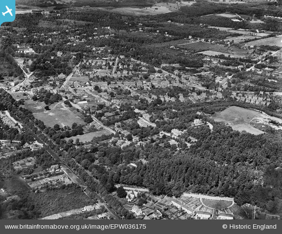
EPW036175 ENGLAND (1931). The High Street and environs, Crowthorne, from the south-east, 1931
© Copyright OpenStreetMap contributors and licensed by the OpenStreetMap Foundation. 2025. Cartography is licensed as CC BY-SA.
Details
| Title | [EPW036175] The High Street and environs, Crowthorne, from the south-east, 1931 |
| Reference | EPW036175 |
| Date | August-1931 |
| Link | |
| Place name | CROWTHORNE |
| Parish | CROWTHORNE |
| District | |
| Country | ENGLAND |
| Easting / Northing | 484497, 163738 |
| Longitude / Latitude | -0.7861093635625, 51.365913342747 |
| National Grid Reference | SU845637 |
Pins

wjhall |
Saturday 7th of June 2014 01:45:10 PM | |
|
vof |
Saturday 4th of May 2013 04:34:51 PM | |
|
vof |
Saturday 4th of May 2013 02:10:51 AM | |
|
vof |
Saturday 4th of May 2013 02:09:14 AM | |
|
vof |
Saturday 4th of May 2013 02:04:56 AM | |
|
vof |
Saturday 4th of May 2013 02:02:48 AM | |
|
vof |
Saturday 4th of May 2013 01:59:47 AM | |
|
vof |
Saturday 4th of May 2013 01:58:32 AM | |
|
Obbers |
Wednesday 20th of March 2013 07:31:57 PM |
User Comment Contributions
The High Street runs horizontally left/south to right/north just above the centre of the photograph. |
vof |
Saturday 4th of May 2013 03:48:48 PM |