
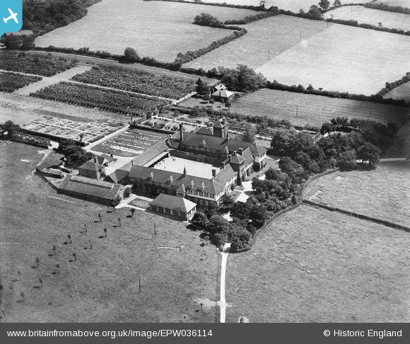
EPW036114 ENGLAND (1931). Desford Industrial School for Boys, Botcheston, 1931
© Copyright OpenStreetMap contributors and licensed by the OpenStreetMap Foundation. 2025. Cartography is licensed as CC BY-SA.
Nearby Images (6)
EPW036114

EPW036117

EPW036118

EPW036116

EPW036119

EPW036115

Details
| Title | [EPW036114] Desford Industrial School for Boys, Botcheston, 1931 |
| Reference | EPW036114 |
| Date | July-1931 |
| Link | |
| Place name | BOTCHESTON |
| Parish | DESFORD |
| District | |
| Country | ENGLAND |
| Easting / Northing | 448483, 305556 |
| Longitude / Latitude | -1.2833492870665, 52.64522311839 |
| National Grid Reference | SK485056 |
Pins
Be the first to add a comment to this image!