
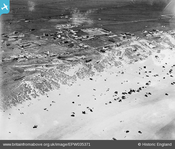
EPW035371 ENGLAND (1931). Camber Sands and the village, Camber, 1931
© Copyright OpenStreetMap contributors and licensed by the OpenStreetMap Foundation. 2025. Cartography is licensed as CC BY-SA.
Details
| Title | [EPW035371] Camber Sands and the village, Camber, 1931 |
| Reference | EPW035371 |
| Date | 25-May-1931 |
| Link | |
| Place name | CAMBER |
| Parish | CAMBER |
| District | |
| Country | ENGLAND |
| Easting / Northing | 596194, 118678 |
| Longitude / Latitude | 0.79250710958482, 50.93357989645 |
| National Grid Reference | TQ962187 |
Pins

somoody |
Friday 3rd of May 2013 11:20:12 PM |