
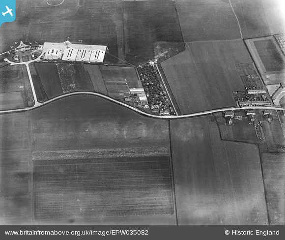
EPW035082 ENGLAND (1931). Heston Air Park, Heston, 1931
© Copyright OpenStreetMap contributors and licensed by the OpenStreetMap Foundation. 2024. Cartography is licensed as CC BY-SA.
Nearby Images (25)
EPW035082

EPW033756

EPW060955

EPW028212

EPW033765

EPW033768

EPW040991

EPW033764

EPW035530

EPW037341

EPW060376

EPW060609

EPW060611

EPW033766

EPW037934

EPW033760

EPW044697

EPW034872

EPW060612

EPW049841

EPW037989

EPW040091

EPW028211

EPW060610

EPW040954

Details
| Title | [EPW035082] Heston Air Park, Heston, 1931 |
| Reference | EPW035082 |
| Date | May-1931 |
| Link | |
| Place name | HESTON |
| Parish | |
| District | |
| Country | ENGLAND |
| Easting / Northing | 511561, 177402 |
| Longitude / Latitude | -0.39314664403087, 51.484068278648 |
| National Grid Reference | TQ116774 |
Pins
 PhilD |
Sunday 16th of November 2014 10:14:12 AM |


