
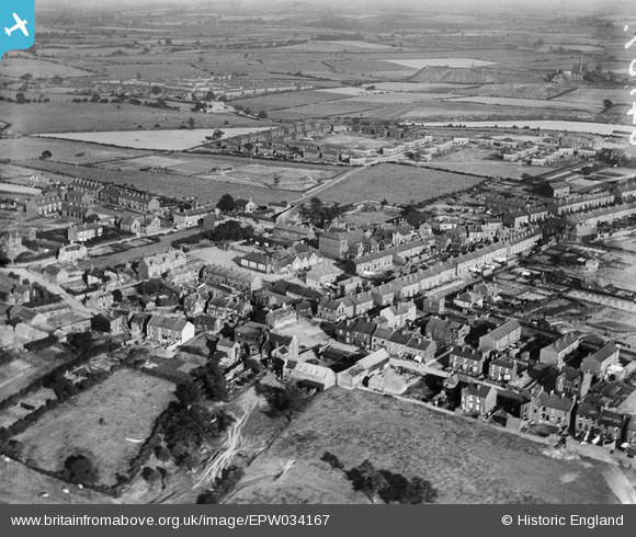
EPW034167 ENGLAND (1930). The village and surrounding countryside, Ryhill, 1930
© Copyright OpenStreetMap contributors and licensed by the OpenStreetMap Foundation. 2025. Cartography is licensed as CC BY-SA.
Nearby Images (3)
EPW034167

EPW034168

EPW034169

Details
| Title | [EPW034167] The village and surrounding countryside, Ryhill, 1930 |
| Reference | EPW034167 |
| Date | July-1930 |
| Link | |
| Place name | RYHILL |
| Parish | RYHILL |
| District | |
| Country | ENGLAND |
| Easting / Northing | 438556, 414319 |
| Longitude / Latitude | -1.4169884696826, 53.62375098984 |
| National Grid Reference | SE386143 |
