
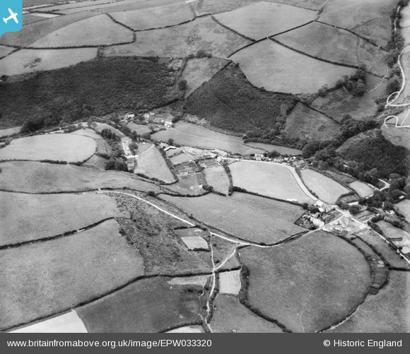
EPW033320 ENGLAND (1930). The village, Brendon, 1930
© Copyright OpenStreetMap contributors and licensed by the OpenStreetMap Foundation. 2025. Cartography is licensed as CC BY-SA.
Nearby Images (2)
EPW033320

EPW033319

Details
| Title | [EPW033320] The village, Brendon, 1930 |
| Reference | EPW033320 |
| Date | July-1930 |
| Link | |
| Place name | BRENDON |
| Parish | BRENDON |
| District | |
| Country | ENGLAND |
| Easting / Northing | 276739, 148145 |
| Longitude / Latitude | -3.7651533316457, 51.218664124343 |
| National Grid Reference | SS767481 |
Pins
Be the first to add a comment to this image!