
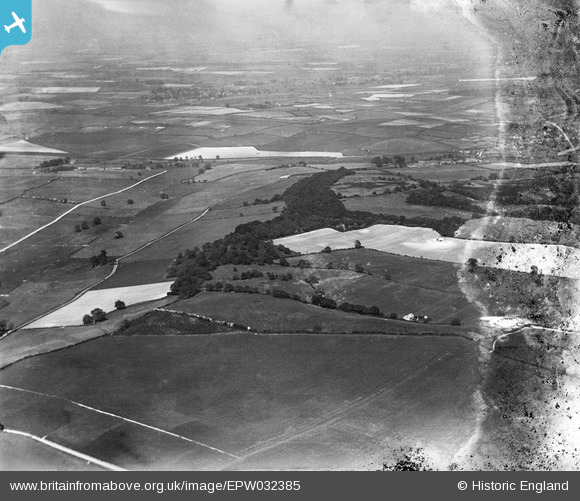
EPW032385 ENGLAND (1930). Sitterton Wood, Piddle Wood and surrounding countryside, Briantspuddle, from the south-west, 1930
© Copyright OpenStreetMap contributors and licensed by the OpenStreetMap Foundation. 2025. Cartography is licensed as CC BY-SA.
Details
| Title | [EPW032385] Sitterton Wood, Piddle Wood and surrounding countryside, Briantspuddle, from the south-west, 1930 |
| Reference | EPW032385 |
| Date | June-1930 |
| Link | |
| Place name | BRIANTSPUDDLE |
| Parish | AFFPUDDLE |
| District | |
| Country | ENGLAND |
| Easting / Northing | 382225, 94333 |
| Longitude / Latitude | -2.2519754999527, 50.74775731354 |
| National Grid Reference | SY822943 |
Pins
Be the first to add a comment to this image!