
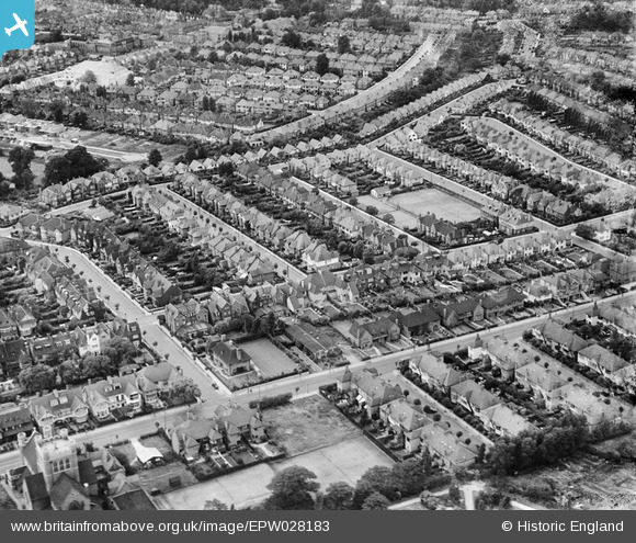
EPW028183 ENGLAND (1929). Residential area around Wentworth Road, Golders Green, 1929
© Copyright OpenStreetMap contributors and licensed by the OpenStreetMap Foundation. 2025. Cartography is licensed as CC BY-SA.
Nearby Images (2)
EPW028183

EPW009354

Details
| Title | [EPW028183] Residential area around Wentworth Road, Golders Green, 1929 |
| Reference | EPW028183 |
| Date | July-1929 |
| Link | |
| Place name | GOLDERS GREEN |
| Parish | |
| District | |
| Country | ENGLAND |
| Easting / Northing | 524908, 188067 |
| Longitude / Latitude | -0.19721828852539, 51.577134755819 |
| National Grid Reference | TQ249881 |
Pins

Captaintee |
Friday 9th of November 2018 03:33:55 PM | |
|
Captaintee |
Friday 9th of November 2018 03:33:01 PM | |
|
Captaintee |
Friday 9th of November 2018 03:32:27 PM |