
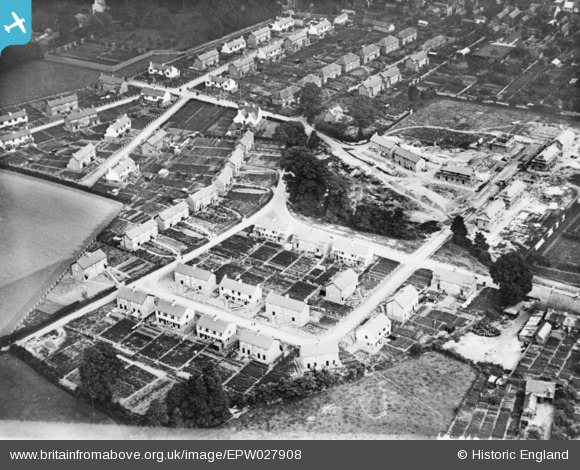
EPW027908 ENGLAND (1929). New housing around Longforth Road and Olands Road, Wellington, 1929. This image has been produced from a copy-negative.
© Copyright OpenStreetMap contributors and licensed by the OpenStreetMap Foundation. 2025. Cartography is licensed as CC BY-SA.
Details
| Title | [EPW027908] New housing around Longforth Road and Olands Road, Wellington, 1929. This image has been produced from a copy-negative. |
| Reference | EPW027908 |
| Date | 28-June-1929 |
| Link | |
| Place name | WELLINGTON |
| Parish | WELLINGTON |
| District | |
| Country | ENGLAND |
| Easting / Northing | 313764, 120955 |
| Longitude / Latitude | -3.228600662358, 50.980993238841 |
| National Grid Reference | ST138210 |
Pins
Be the first to add a comment to this image!