
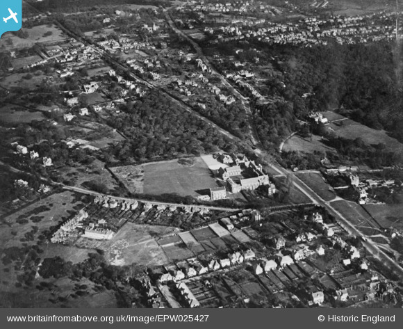
EPW025427 ENGLAND (1928). Bancroft's School, Woodford Wells, 1928. This image has been produced from a copy-negative.
© Copyright OpenStreetMap contributors and licensed by the OpenStreetMap Foundation. 2025. Cartography is licensed as CC BY-SA.
Nearby Images (2)
EPW025427

EPW025418

Details
| Title | [EPW025427] Bancroft's School, Woodford Wells, 1928. This image has been produced from a copy-negative. |
| Reference | EPW025427 |
| Date | 8-November-1928 |
| Link | |
| Place name | WOODFORD WELLS |
| Parish | |
| District | |
| Country | ENGLAND |
| Easting / Northing | 540381, 193294 |
| Longitude / Latitude | 0.028051540290503, 51.620466948876 |
| National Grid Reference | TQ404933 |
Pins
Be the first to add a comment to this image!