
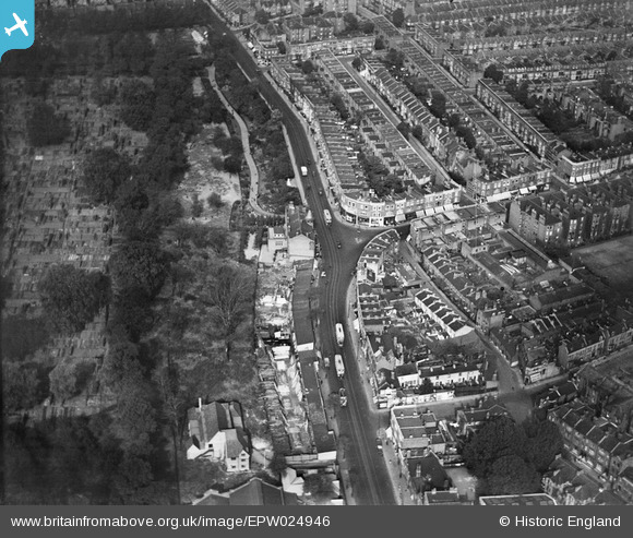
EPW024946 ENGLAND (1928). Fulham High Street, Fulham, 1928
© Copyright OpenStreetMap contributors and licensed by the OpenStreetMap Foundation. 2025. Cartography is licensed as CC BY-SA.
Details
| Title | [EPW024946] Fulham High Street, Fulham, 1928 |
| Reference | EPW024946 |
| Date | 6-October-1928 |
| Link | |
| Place name | FULHAM |
| Parish | |
| District | |
| Country | ENGLAND |
| Easting / Northing | 524331, 176235 |
| Longitude / Latitude | -0.20971816417984, 51.470915546438 |
| National Grid Reference | TQ243762 |
Pins
 Class31 |
Thursday 5th of March 2015 09:04:18 AM | |
 |
Class31 |
Thursday 5th of March 2015 09:03:56 AM |
Class31 |
Wednesday 21st of November 2012 10:20:02 PM | |
Class31 |
Wednesday 21st of November 2012 10:19:12 PM | |
Class31 |
Wednesday 21st of November 2012 10:18:44 PM |
User Comment Contributions
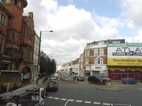
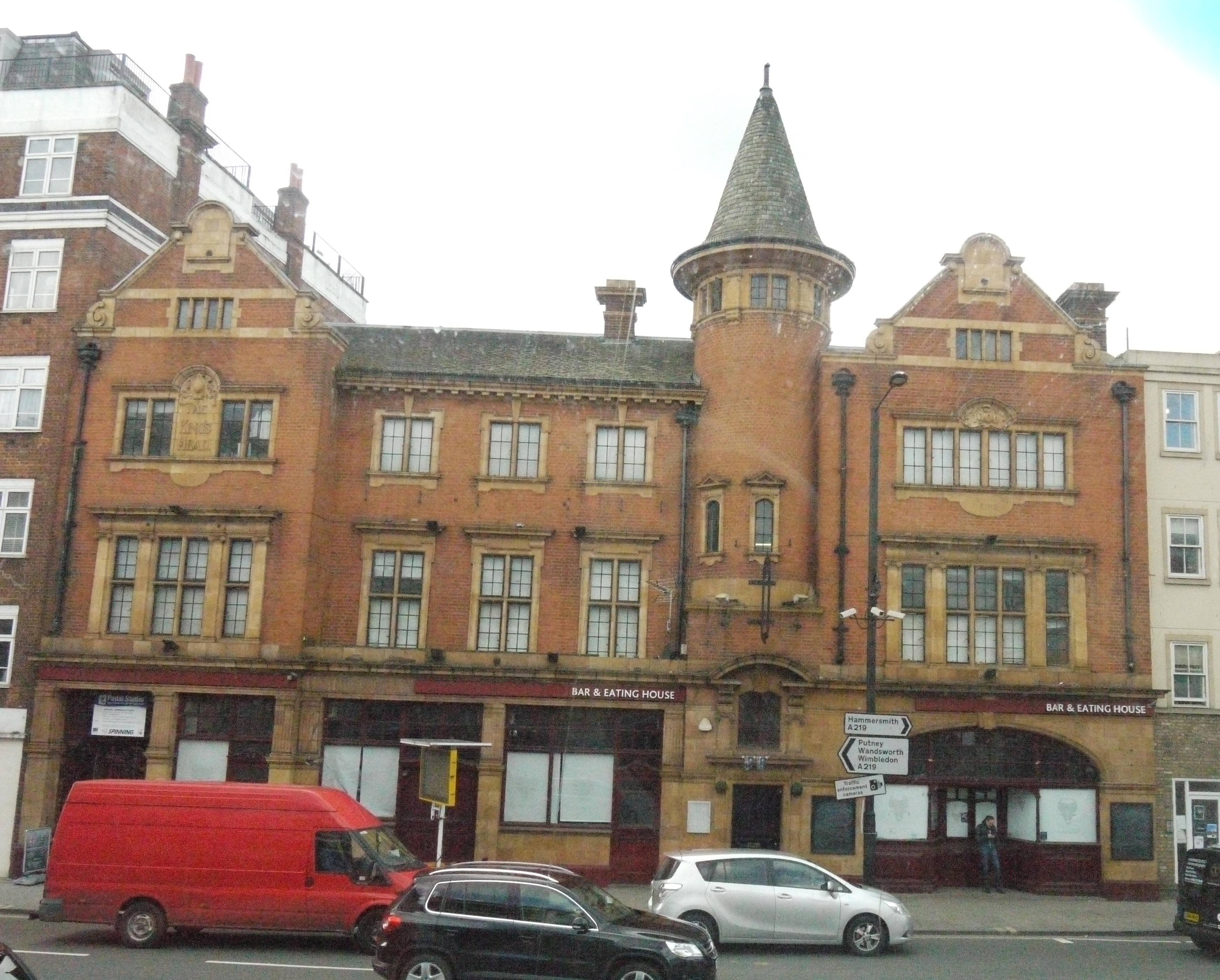 The King's Head PH from a bus, 04/03/2015 |
Class31 |
Thursday 5th of March 2015 09:06:56 AM |