
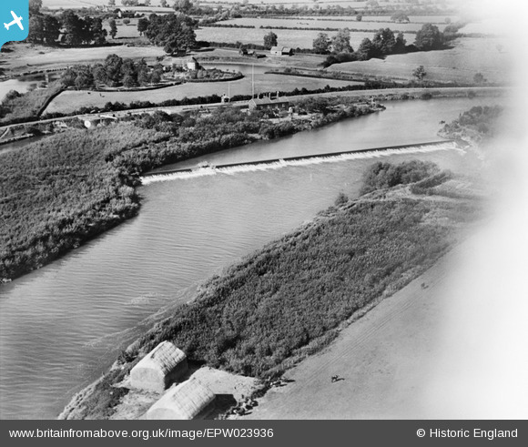
EPW023936 ENGLAND (1928). Upper Lode Weir and Lock Keeper's House, Tewkesbury, 1928
© Copyright OpenStreetMap contributors and licensed by the OpenStreetMap Foundation. 2025. Cartography is licensed as CC BY-SA.
Details
| Title | [EPW023936] Upper Lode Weir and Lock Keeper's House, Tewkesbury, 1928 |
| Reference | EPW023936 |
| Date | September-1928 |
| Link | |
| Place name | TEWKESBURY |
| Parish | TEWKESBURY |
| District | |
| Country | ENGLAND |
| Easting / Northing | 388139, 232742 |
| Longitude / Latitude | -2.1727616572696, 51.992574426062 |
| National Grid Reference | SO881327 |
Pins
 Toby Clempson |
Tuesday 8th of October 2013 07:13:28 AM | |
Toby Clempson |
Tuesday 8th of October 2013 07:12:02 AM | |
Toby Clempson |
Tuesday 8th of October 2013 07:11:31 AM | |
Toby Clempson |
Tuesday 8th of October 2013 07:09:35 AM | |
Toby Clempson |
Tuesday 8th of October 2013 07:08:47 AM |