
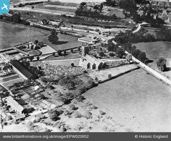
EPW023652 ENGLAND (1928). St Mary's Church and environs, Plympton, 1928. This image has been produced from a copy-negative.
© Copyright OpenStreetMap contributors and licensed by the OpenStreetMap Foundation. 2025. Cartography is licensed as CC BY-SA.
Details
| Title | [EPW023652] St Mary's Church and environs, Plympton, 1928. This image has been produced from a copy-negative. |
| Reference | EPW023652 |
| Date | September-1928 |
| Link | |
| Place name | PLYMPTON |
| Parish | |
| District | |
| Country | ENGLAND |
| Easting / Northing | 253762, 56308 |
| Longitude / Latitude | -4.0573941040755, 50.387839283299 |
| National Grid Reference | SX538563 |
