
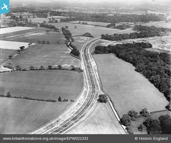
EPW021333 ENGLAND (1928). North Western Avenue and the junction with Russell Lane, Watford, 1928
© Copyright OpenStreetMap contributors and licensed by the OpenStreetMap Foundation. 2026. Cartography is licensed as CC BY-SA.
Details
| Title | [EPW021333] North Western Avenue and the junction with Russell Lane, Watford, 1928 |
| Reference | EPW021333 |
| Date | 27-May-1928 |
| Link | |
| Place name | WATFORD |
| Parish | |
| District | |
| Country | ENGLAND |
| Easting / Northing | 509083, 199585 |
| Longitude / Latitude | -0.42192949574247, 51.683954276529 |
| National Grid Reference | TQ091996 |
Pins

Tomas |
Wednesday 16th of December 2020 12:46:07 PM | |
|
Tomas |
Wednesday 16th of December 2020 12:45:18 PM | |
|
Tomas |
Wednesday 16th of December 2020 12:43:07 PM | |
|
Tomas |
Wednesday 16th of December 2020 12:42:17 PM | |
|
jdpinkbass |
Wednesday 16th of September 2015 10:54:20 PM | |
|
Danish A |
Saturday 24th of August 2013 06:47:05 PM |