
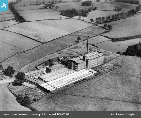
EPW019188 ENGLAND (1927). Wellington Mill, Hazel Grove, 1927
© Copyright OpenStreetMap contributors and licensed by the OpenStreetMap Foundation. 2026. Cartography is licensed as CC BY-SA.
Details
| Title | [EPW019188] Wellington Mill, Hazel Grove, 1927 |
| Reference | EPW019188 |
| Date | August-1927 |
| Link | |
| Place name | HAZEL GROVE |
| Parish | |
| District | |
| Country | ENGLAND |
| Easting / Northing | 392756, 387502 |
| Longitude / Latitude | -2.1089209799865, 53.384050873433 |
| National Grid Reference | SJ928875 |
Pins

Steve T |
Tuesday 26th of June 2018 11:51:58 PM | |
|
HOOD |
Thursday 20th of February 2014 08:19:21 PM |