
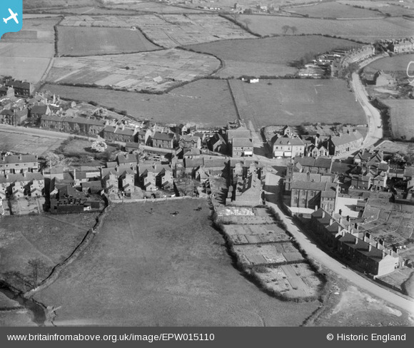
EPW015110 ENGLAND (1926). The village centre, Rushall, 1926
© Copyright OpenStreetMap contributors and licensed by the OpenStreetMap Foundation. 2025. Cartography is licensed as CC BY-SA.
Details
| Title | [EPW015110] The village centre, Rushall, 1926 |
| Reference | EPW015110 |
| Date | 12-April-1926 |
| Link | |
| Place name | RUSHALL |
| Parish | |
| District | |
| Country | ENGLAND |
| Easting / Northing | 402730, 301100 |
| Longitude / Latitude | -1.9596816701987, 52.607320329569 |
| National Grid Reference | SK027011 |
Pins
 Nikki |
Monday 23rd of January 2023 07:51:48 PM | |
KevTheBusDriver |
Sunday 2nd of February 2014 06:00:56 PM | |
 Dylan Moore |
Friday 17th of May 2013 04:04:42 PM | |
Dylan Moore |
Friday 17th of May 2013 04:02:21 PM | |
JABE |
Saturday 6th of October 2012 08:36:54 AM |