
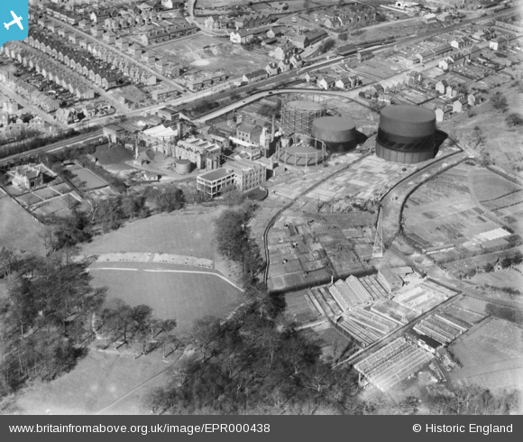
EPR000438 ENGLAND (1935). The Gas Works on Sandhurst Road, Royal Tunbridge Wells, 1935
© Copyright OpenStreetMap contributors and licensed by the OpenStreetMap Foundation. 2025. Cartography is licensed as CC BY-SA.
Details
| Title | [EPR000438] The Gas Works on Sandhurst Road, Royal Tunbridge Wells, 1935 |
| Reference | EPR000438 |
| Date | 12-March-1935 |
| Link | |
| Place name | ROYAL TUNBRIDGE WELLS |
| Parish | |
| District | |
| Country | ENGLAND |
| Easting / Northing | 559370, 141020 |
| Longitude / Latitude | 0.27870062036051, 51.145702082578 |
| National Grid Reference | TQ594410 |
Pins
Be the first to add a comment to this image!