
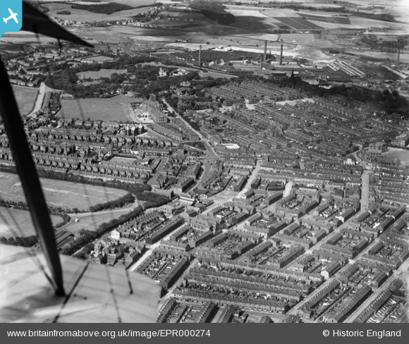
EPR000274 ENGLAND (1934). Cowley Hill Lane and environs, St Helens, 1934
© Copyright OpenStreetMap contributors and licensed by the OpenStreetMap Foundation. 2025. Cartography is licensed as CC BY-SA.
Details
| Title | [EPR000274] Cowley Hill Lane and environs, St Helens, 1934 |
| Reference | EPR000274 |
| Date | August-1934 |
| Link | |
| Place name | ST HELENS |
| Parish | |
| District | |
| Country | ENGLAND |
| Easting / Northing | 350539, 395849 |
| Longitude / Latitude | -2.7449736227216, 53.456814191791 |
| National Grid Reference | SJ505958 |
Pins

austin |
Wednesday 17th of February 2021 09:08:02 AM | |

St Helens Pubs |
Tuesday 17th of March 2015 06:24:29 PM | |
|
St Helens Pubs |
Tuesday 17th of March 2015 06:22:45 PM | |
|
St Helens Pubs |
Tuesday 17th of March 2015 06:19:43 PM | |
|
St Helens Pubs |
Tuesday 17th of March 2015 06:15:47 PM | |
|
St Helens Pubs |
Tuesday 17th of March 2015 06:11:27 PM | |
 |
St Helens Pubs |
Tuesday 17th of March 2015 06:07:11 PM |


