
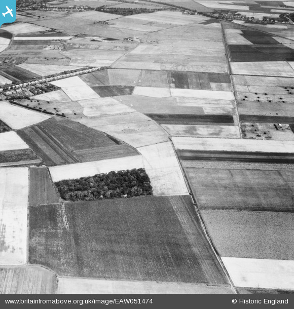
EAW051474 ENGLAND (1953). Livesley's Covert and surrounding fields, Halsall Moss, 1953
© Copyright OpenStreetMap contributors and licensed by the OpenStreetMap Foundation. 2025. Cartography is licensed as CC BY-SA.
Details
| Title | [EAW051474] Livesley's Covert and surrounding fields, Halsall Moss, 1953 |
| Reference | EAW051474 |
| Date | 12-August-1953 |
| Link | |
| Place name | HALSALL MOSS |
| Parish | HALSALL |
| District | |
| Country | ENGLAND |
| Easting / Northing | 334473, 414048 |
| Longitude / Latitude | -2.9907341138303, 53.61863441402 |
| National Grid Reference | SD345140 |
Pins
Be the first to add a comment to this image!