
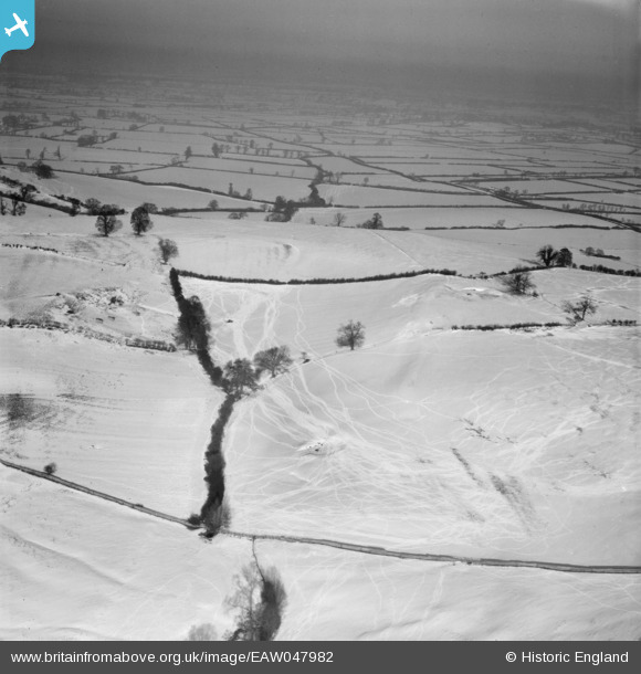
EAW047982 ENGLAND (1952). Snow covered fields around Woad Hill, Quainton, from the south, 1952
© Copyright OpenStreetMap contributors and licensed by the OpenStreetMap Foundation. 2024. Cartography is licensed as CC BY-SA.
Details
| Title | [EAW047982] Snow covered fields around Woad Hill, Quainton, from the south, 1952 |
| Reference | EAW047982 |
| Date | 1-December-1952 |
| Link | |
| Place name | QUAINTON |
| Parish | QUAINTON |
| District | |
| Country | ENGLAND |
| Easting / Northing | 475593, 220962 |
| Longitude / Latitude | -0.9016448415288, 51.881651343543 |
| National Grid Reference | SP756210 |
Pins
Be the first to add a comment to this image!