
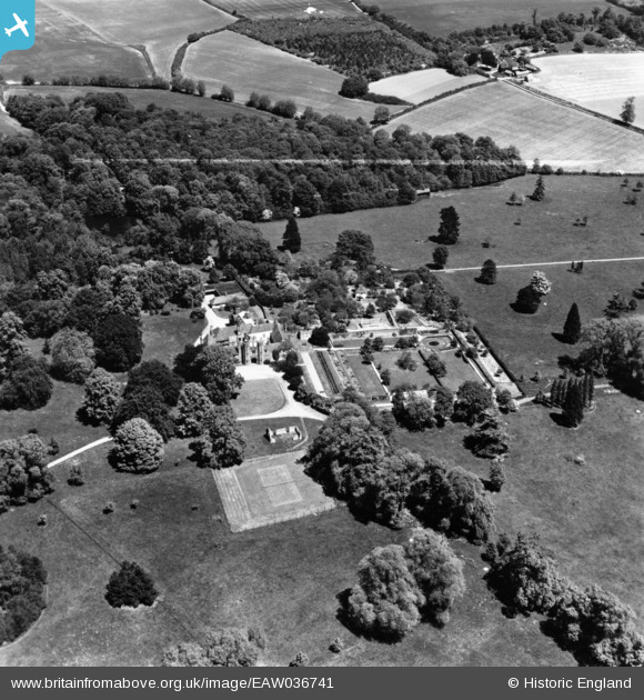
EAW036741 ENGLAND (1951). Gifford's Hall and Gifford's Hall Park, Stoke-by-Nayland, 1951. This image has been produced from a print marked by Aerofilms Ltd for photo editing.
© Copyright OpenStreetMap contributors and licensed by the OpenStreetMap Foundation. 2025. Cartography is licensed as CC BY-SA.
Nearby Images (22)
EAW036741

EPW043701

EPW043703

EPW043720

EPW043721

EAW036743

EAW036742

EAW036744

EPW043698

EPW043702

EPW043717

EPW043697

EPW043718

EPW043724

EPW043700

EAW036739

EPW043722

EPW043719

EPW043723

EPW043699

EAW036740

EAW036745

Details
| Title | [EAW036741] Gifford's Hall and Gifford's Hall Park, Stoke-by-Nayland, 1951. This image has been produced from a print marked by Aerofilms Ltd for photo editing. |
| Reference | EAW036741 |
| Date | 5-June-1951 |
| Link | |
| Place name | STOKE-BY-NAYLAND |
| Parish | STOKE-BY-NAYLAND |
| District | |
| Country | ENGLAND |
| Easting / Northing | 601845, 237423 |
| Longitude / Latitude | 0.94064867424597, 51.998076647431 |
| National Grid Reference | TM018374 |
Pins
Be the first to add a comment to this image!